


")
")
")


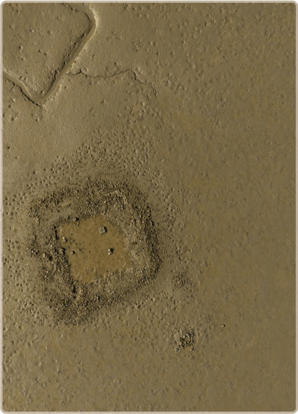
Archaeological remains of a kiln at the Jam Jaskar Goth site
Archaeological remains of a kiln at the Jam Jaskar Goth site
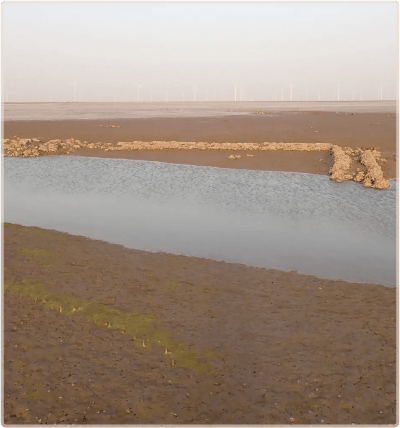
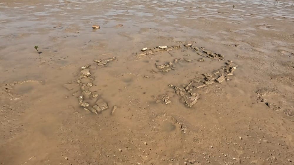
Water channel cutting across one of the walls of the mosque
Water channel cutting across one of the walls of the mosque
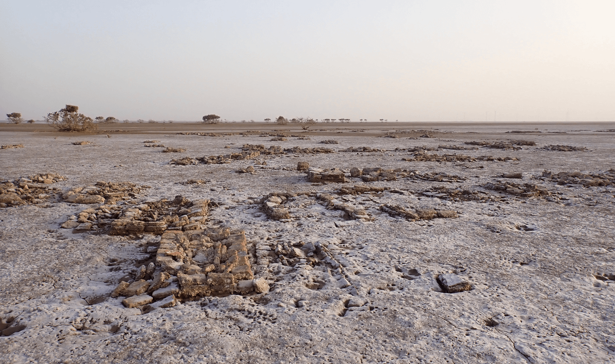
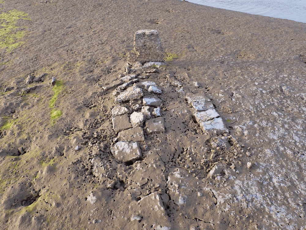
The remains of the kiln suggesting this was a substantial structure
The remains of the kiln suggesting this was a substantial structure

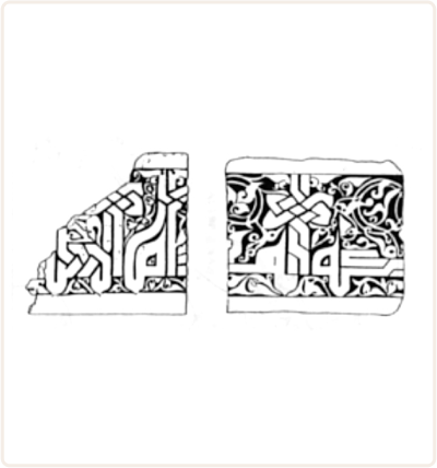
Illustration of clay tablets with Kufic inscriptions (Kervran, 2013)
Illustration of clay tablets with Kufic inscriptions (Kervran, 2013)

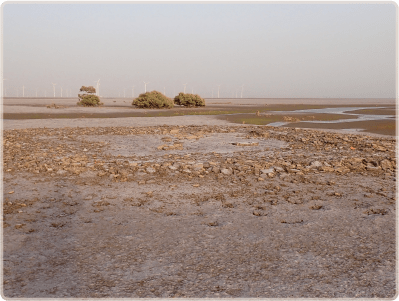
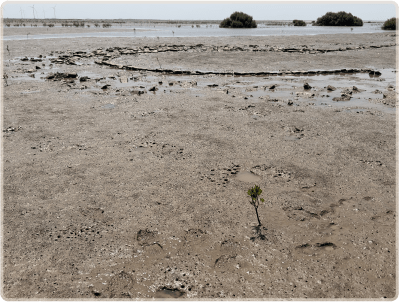
Mangrove saplings growing amidst the fort remains.
Mangrove saplings growing amidst the fort remains.
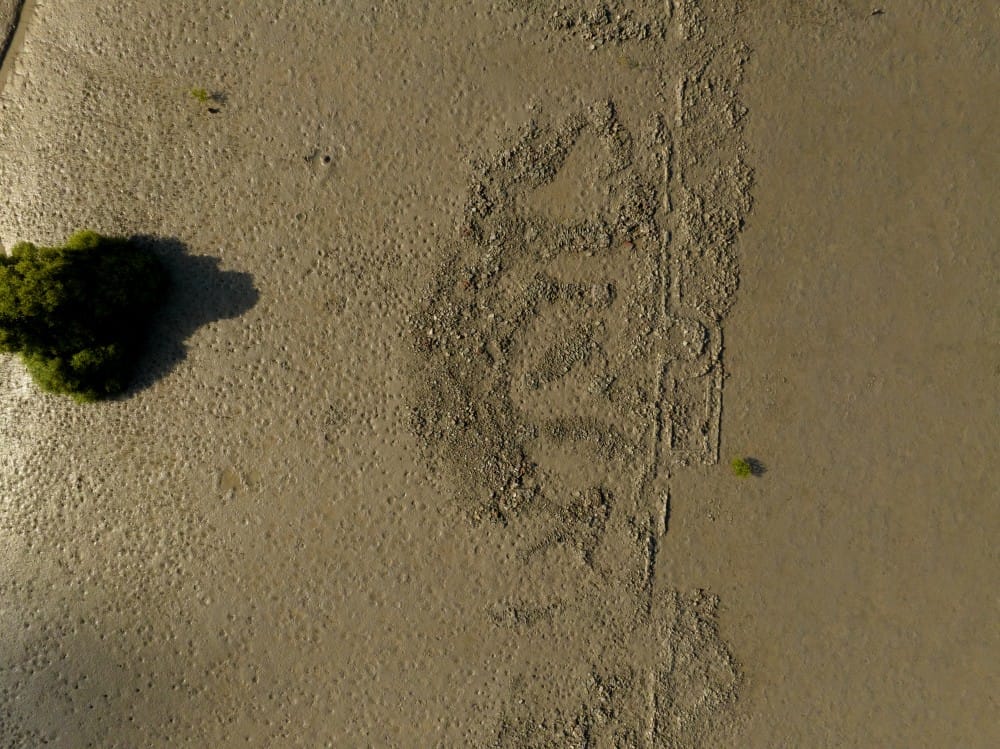

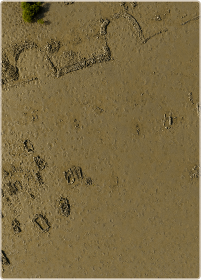
3D model of site

Some of the graves have been completely or partially destroyed
Some of the graves have been completely or partially destroyed
Some of the graves have been completely or partially destroyed
Some of the graves have been completely or partially destroyed

