


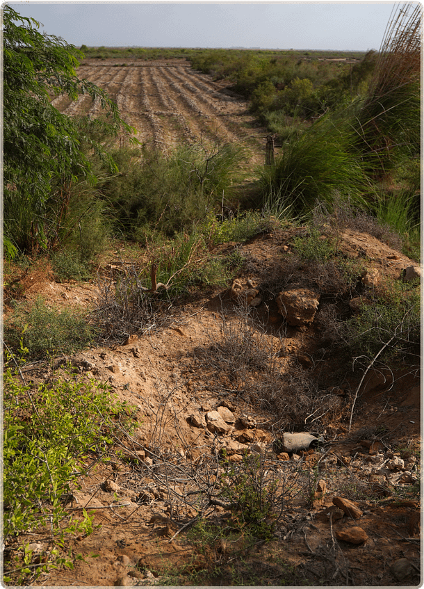
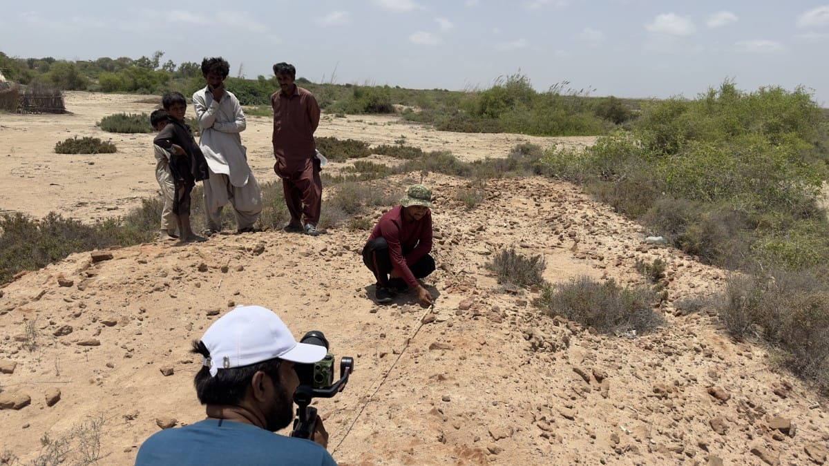
The walls of the fort have been reduced to small mounds of sand and stone
The walls of the fort have been reduced to small mounds of sand and stone
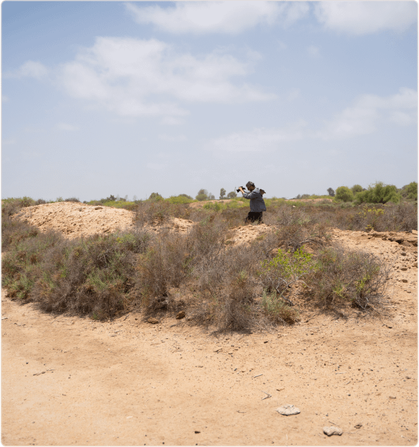
The corner tower is completely covered by vegetation.
The corner tower is completely covered by vegetation.
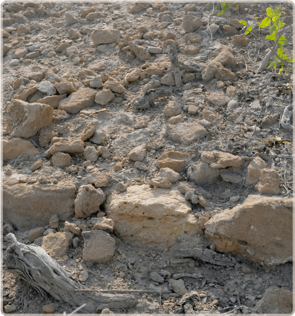
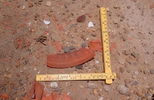
Remnants of the limestone walls with the rubble in-fill
Remnants of the limestone walls with the rubble in-fill
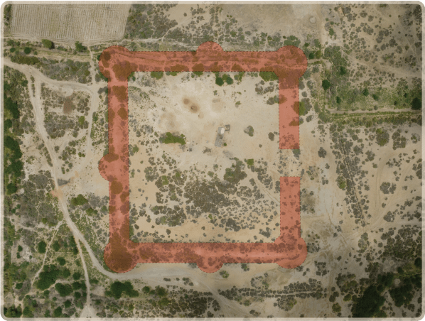
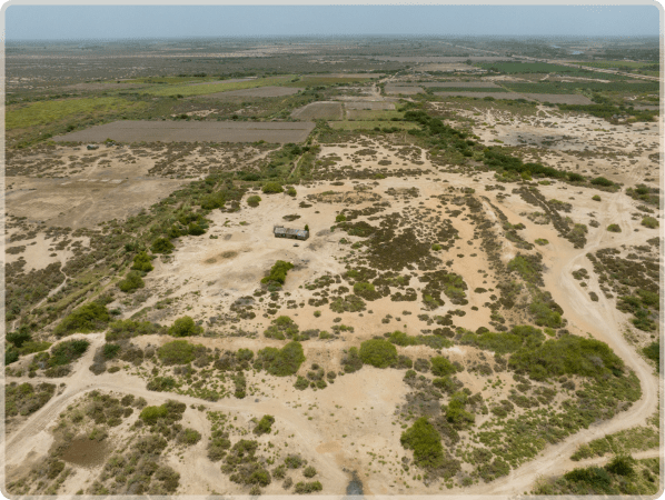
Aerial view of the fort and its environs
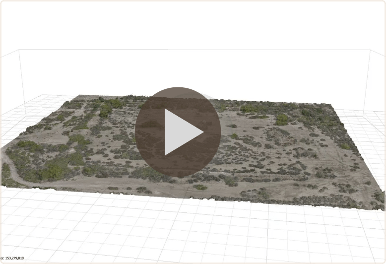
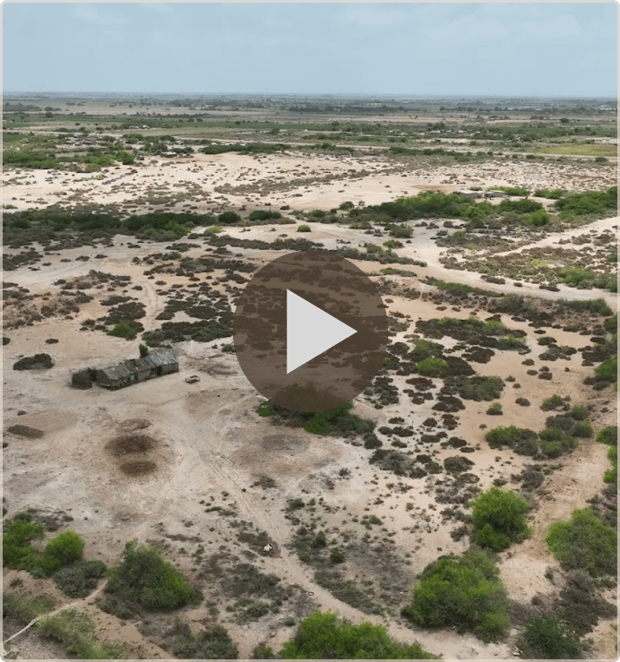
3D model of Ranokot